Enabling Smarter Agri-Business Decisions with Earth Intelligence
SatSure enables agri-input, commodity, FMCG, and plantation businesses to plan, monitor, and optimize their operations through spatially contextual insights—from sales and R&D to procurement and sustainability reporting


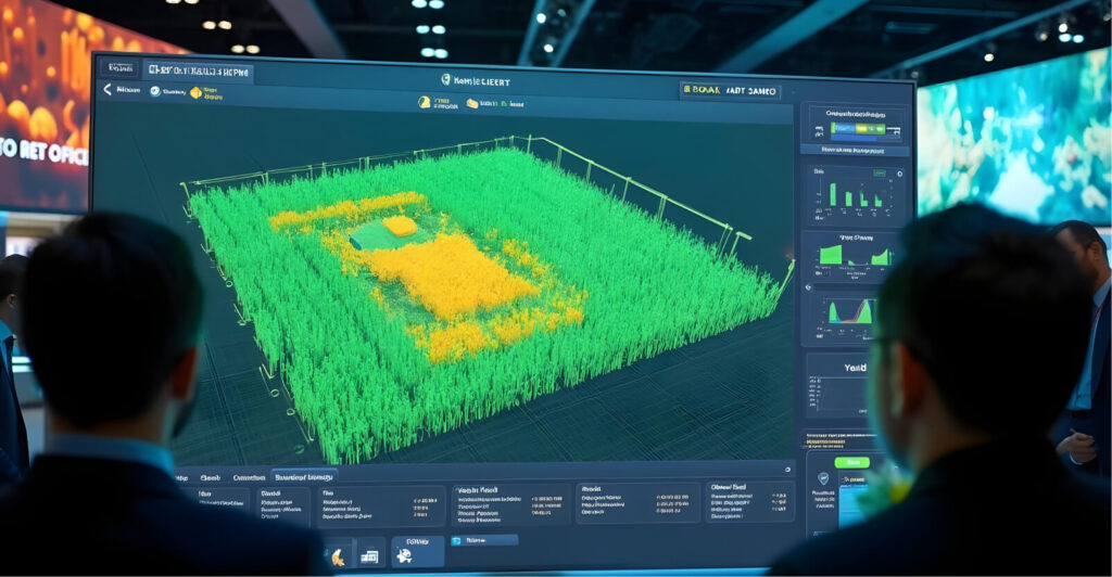
A Full-Stack EO Intelligence Platform for Agri Enterprises
SatSure’s Sparta platform helps agri-businesses unlock insights from ground and satellite data to drive operational and strategic planning across the agri value chain
Sales & Market Intelligence
Forecast market demand and streamline inventory by combining crop distribution, irrigation maps, and affluence proxies. Get granular visibility of retailer footprints, farm density, and territory potential for precise sales force deployment
R&D & Field Trials
Digitize field trials with continuous monitoring of plot health, rainfall, and evapotranspiration. Select trial sites scientifically based on farm boundaries and agro-climatic suitability, and integrate results seamlessly into your product pipeline
Procurement Planning
Monitor sowing, crop growth, and yield progression in near-real time to anticipate harvest volumes and optimize supply chain movements. Use our ACR Index as a proxy to district-level yield estimates—faster and more scalable than CCEs
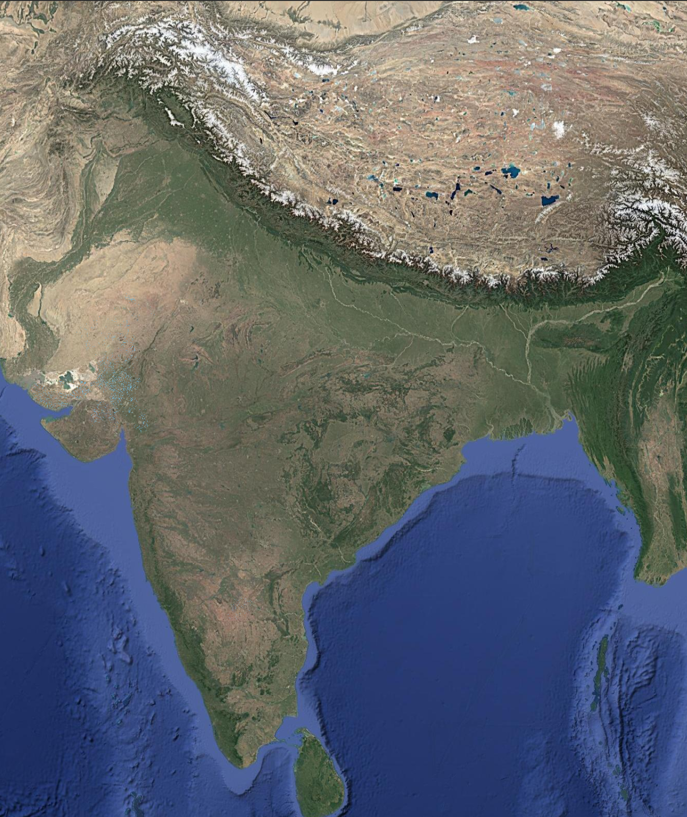
Explore Data Coverage


About
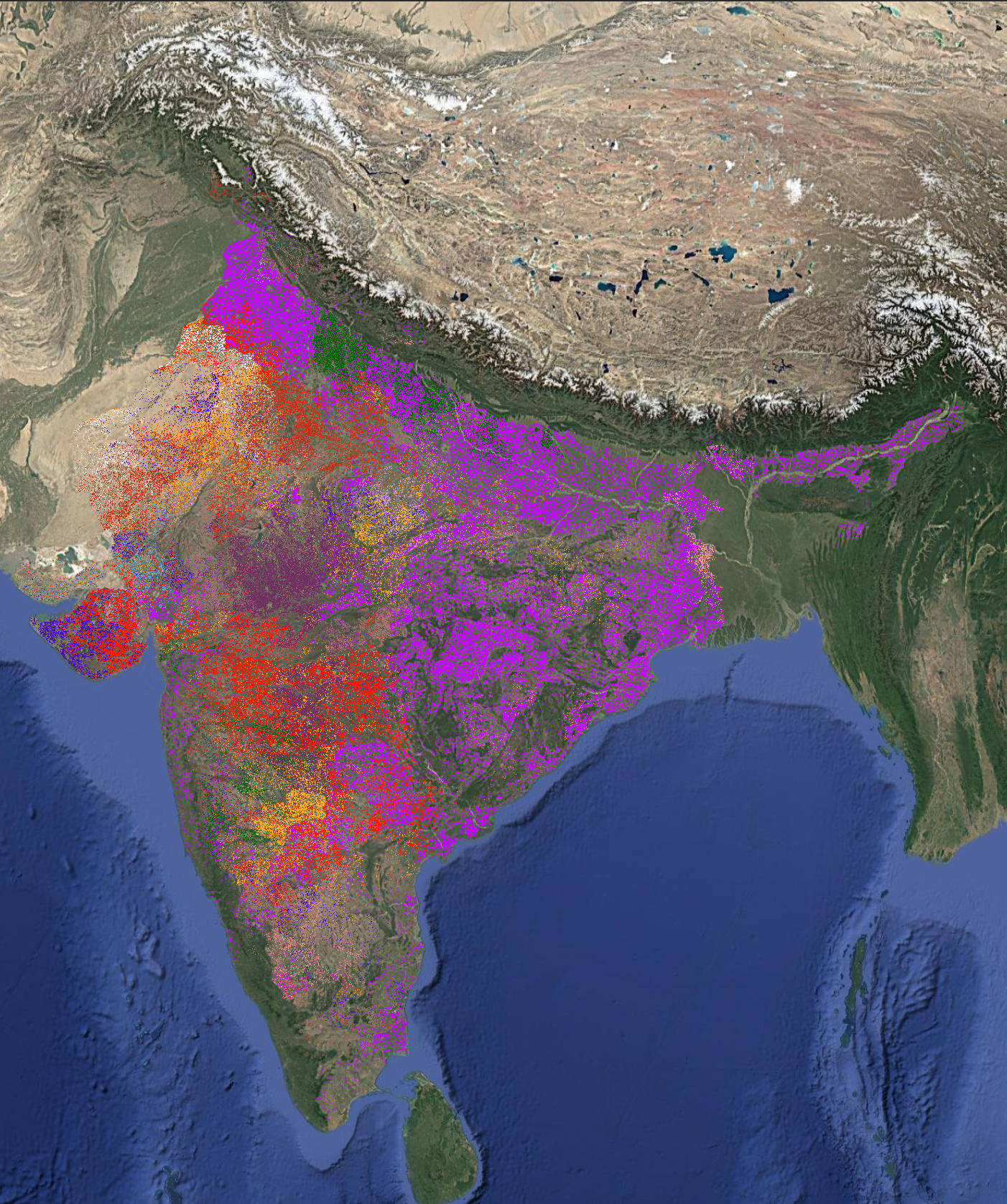
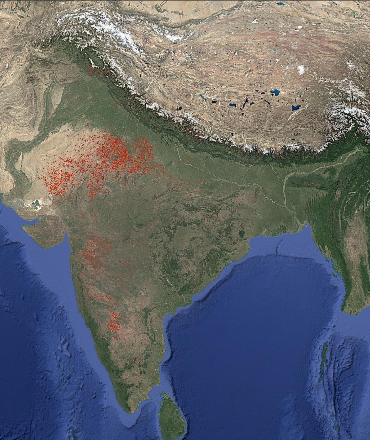
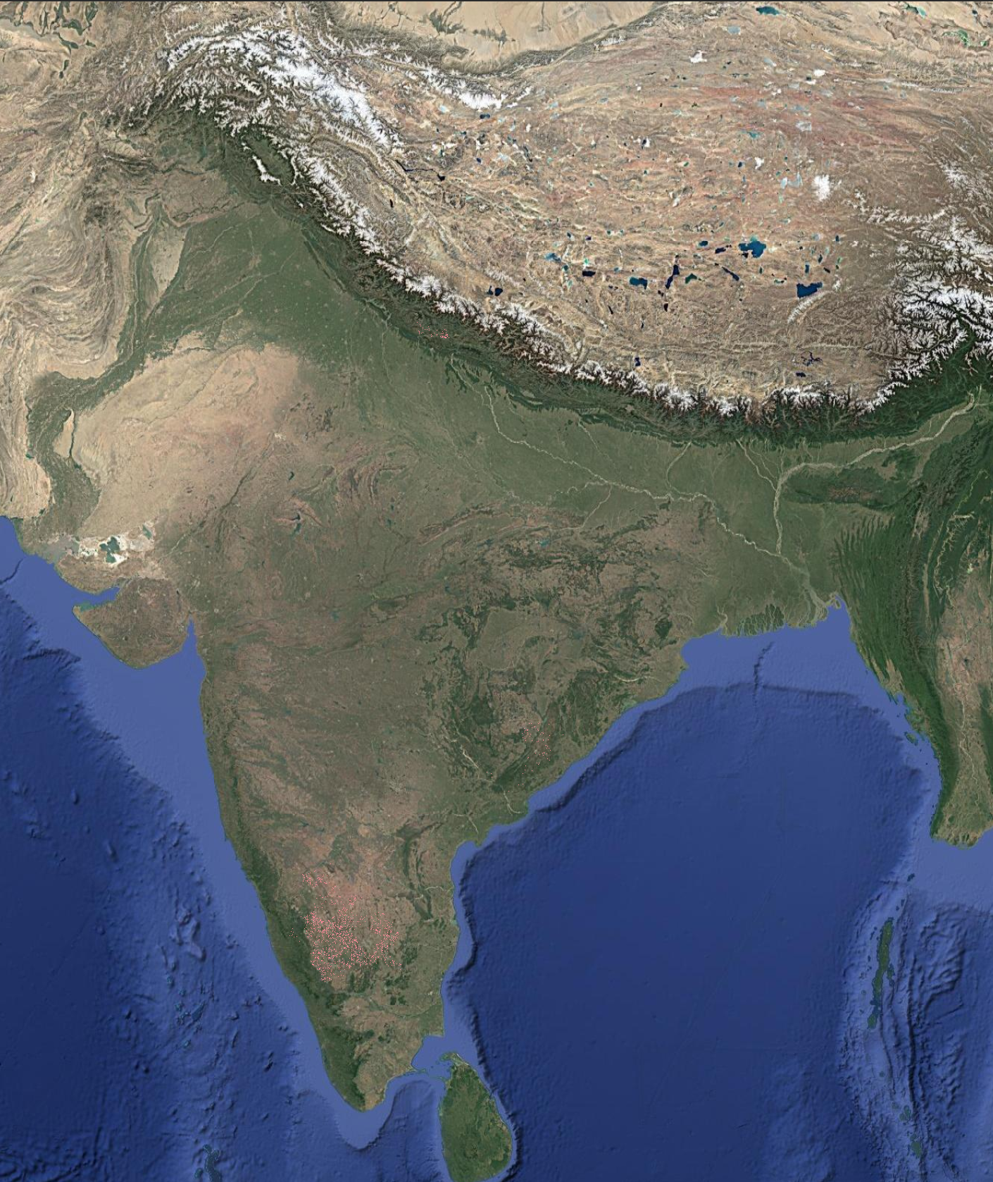
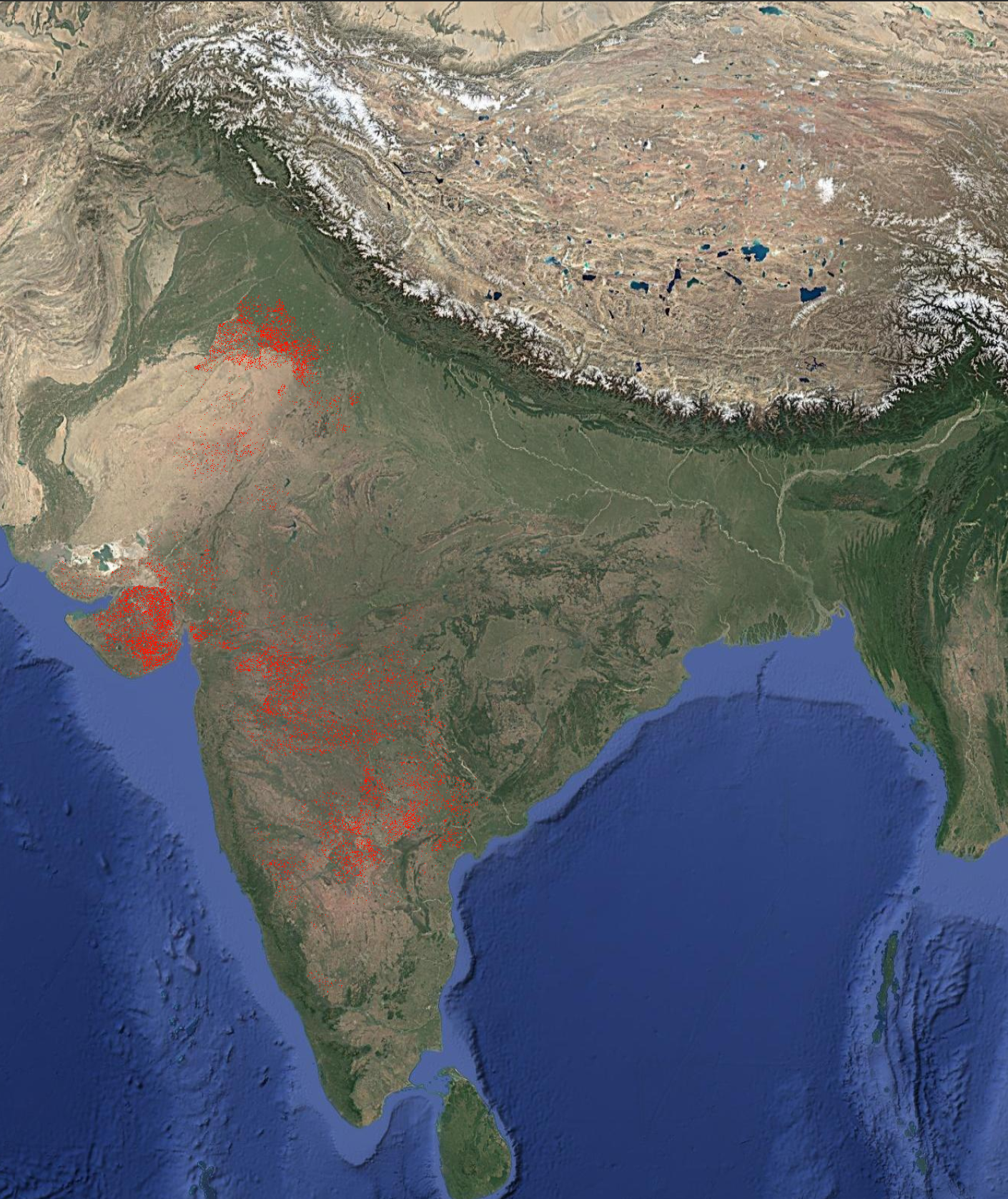
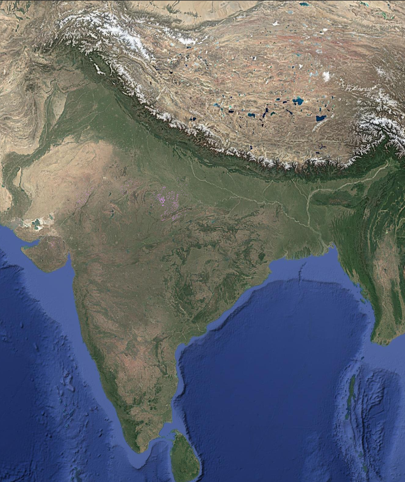
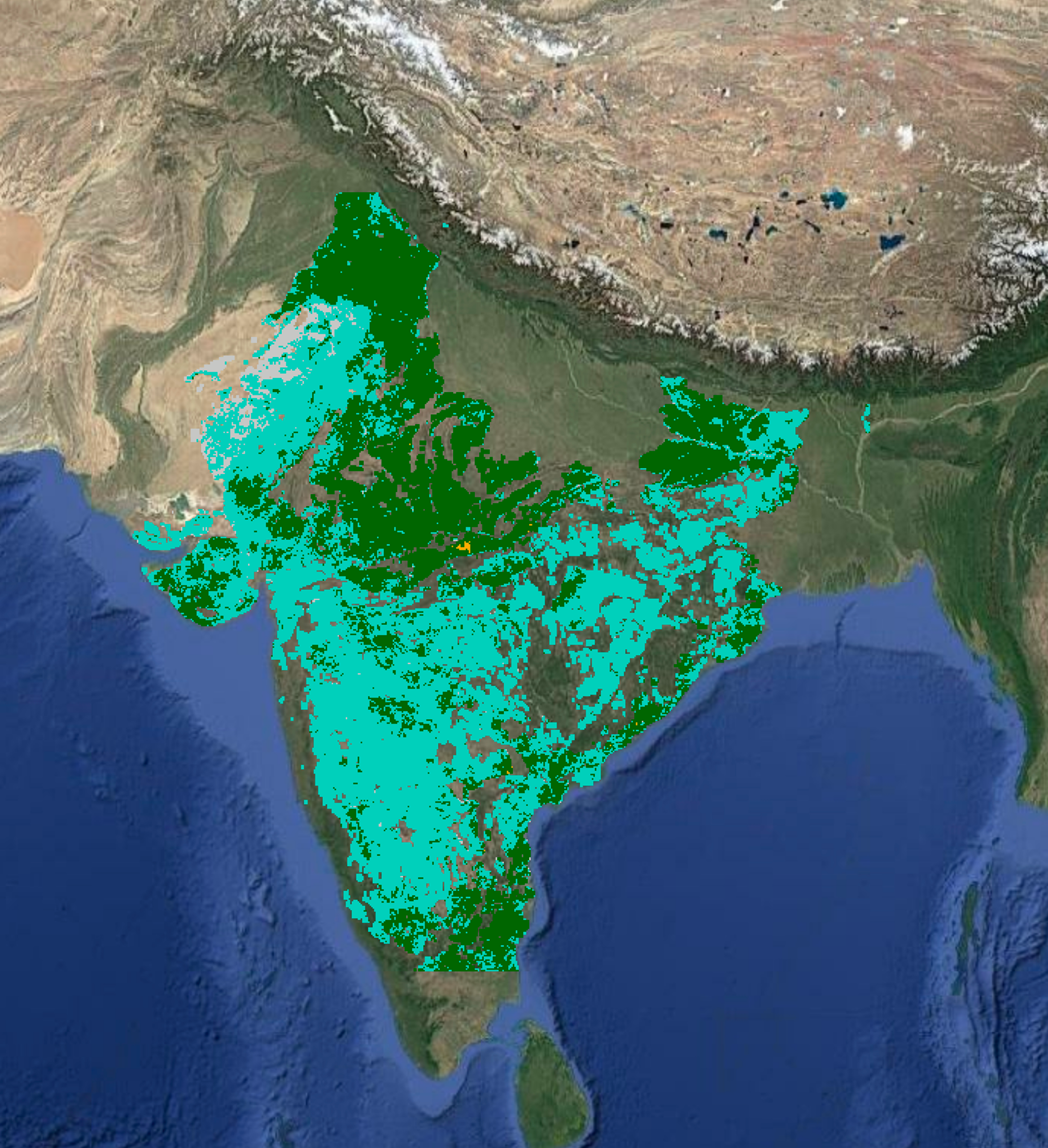
Crop area refers to the total cultivated land area allocated to a specific crop in a given season. It indicates how much land is used to grow that particular crop, independent of other crops grown in the region. We identify over 30 crops globally at their peak vegetative stage in a season.
Deviation Details
-9.12%
from UPag Kharif 2025 Stats
Product Specification
10m
Resolution
Seasonal
Frequency
Farm Level
Granularity
Availability
Available since
Rabi 2019
Latest data
Kharif 2025
Access as
CSV, .tiff, API
Download Data
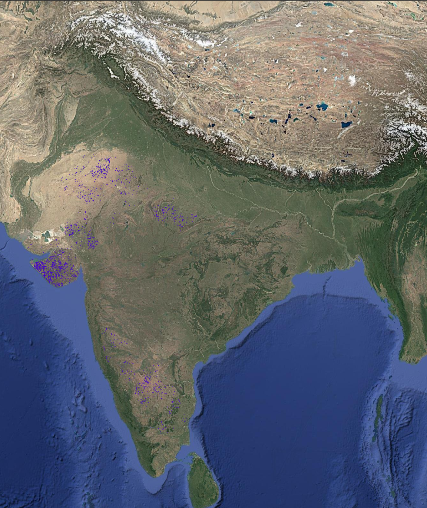
About
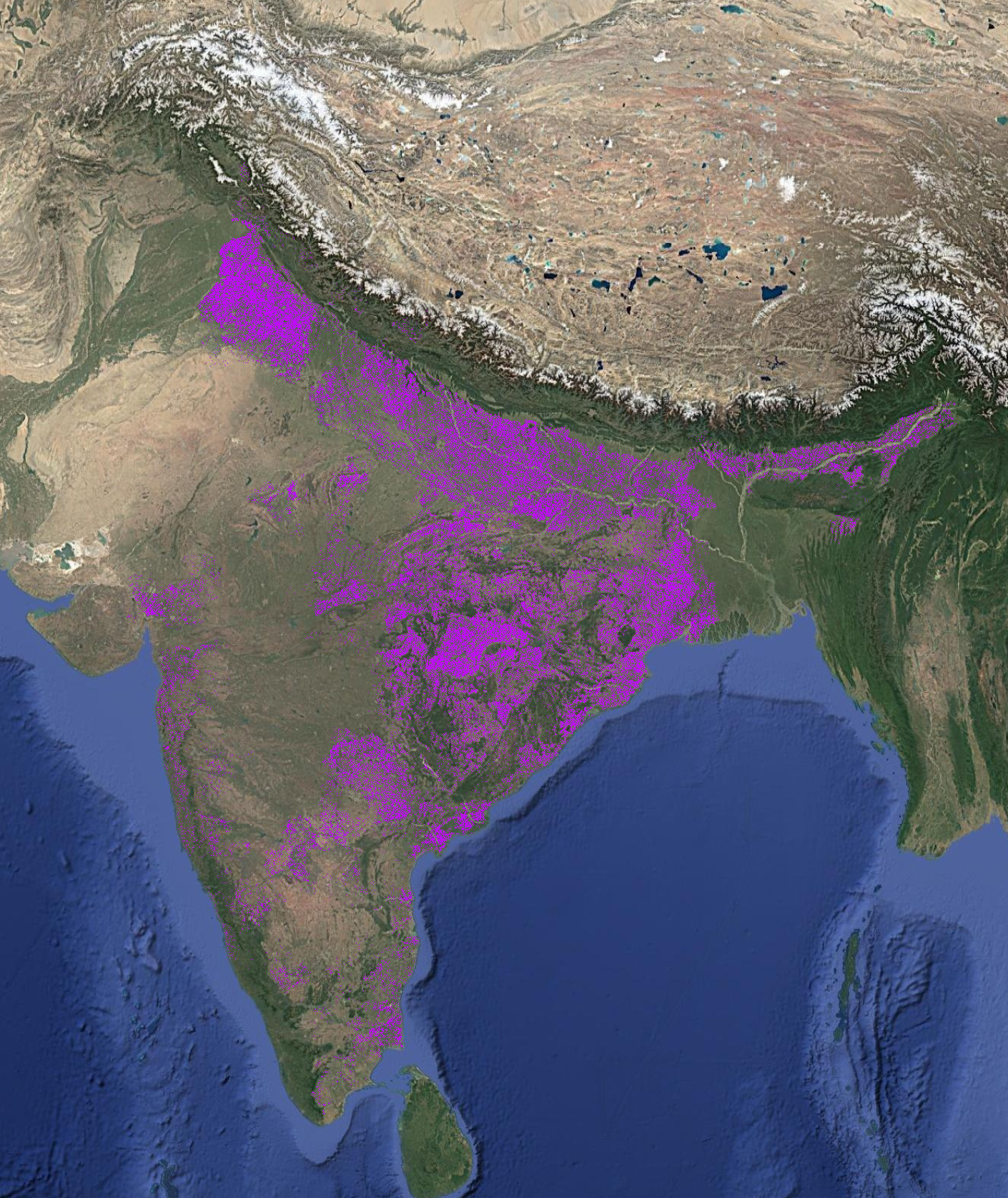
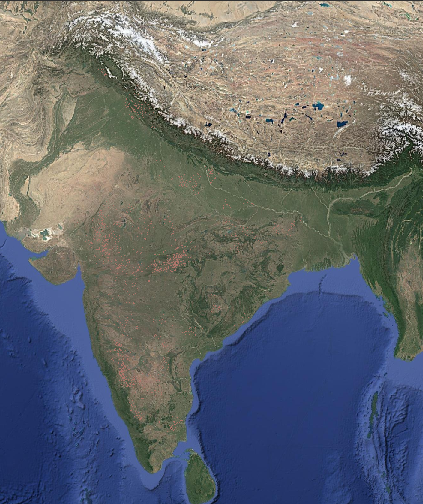
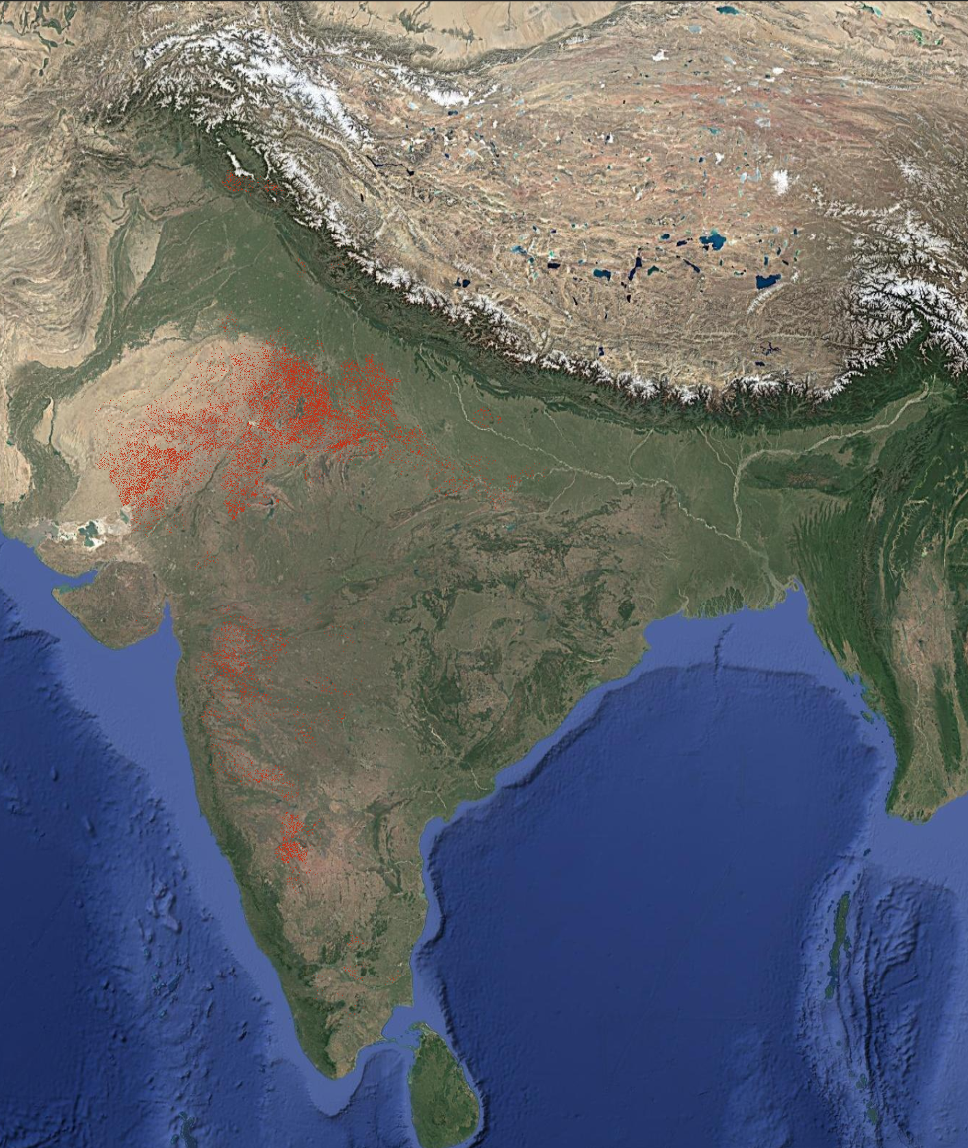
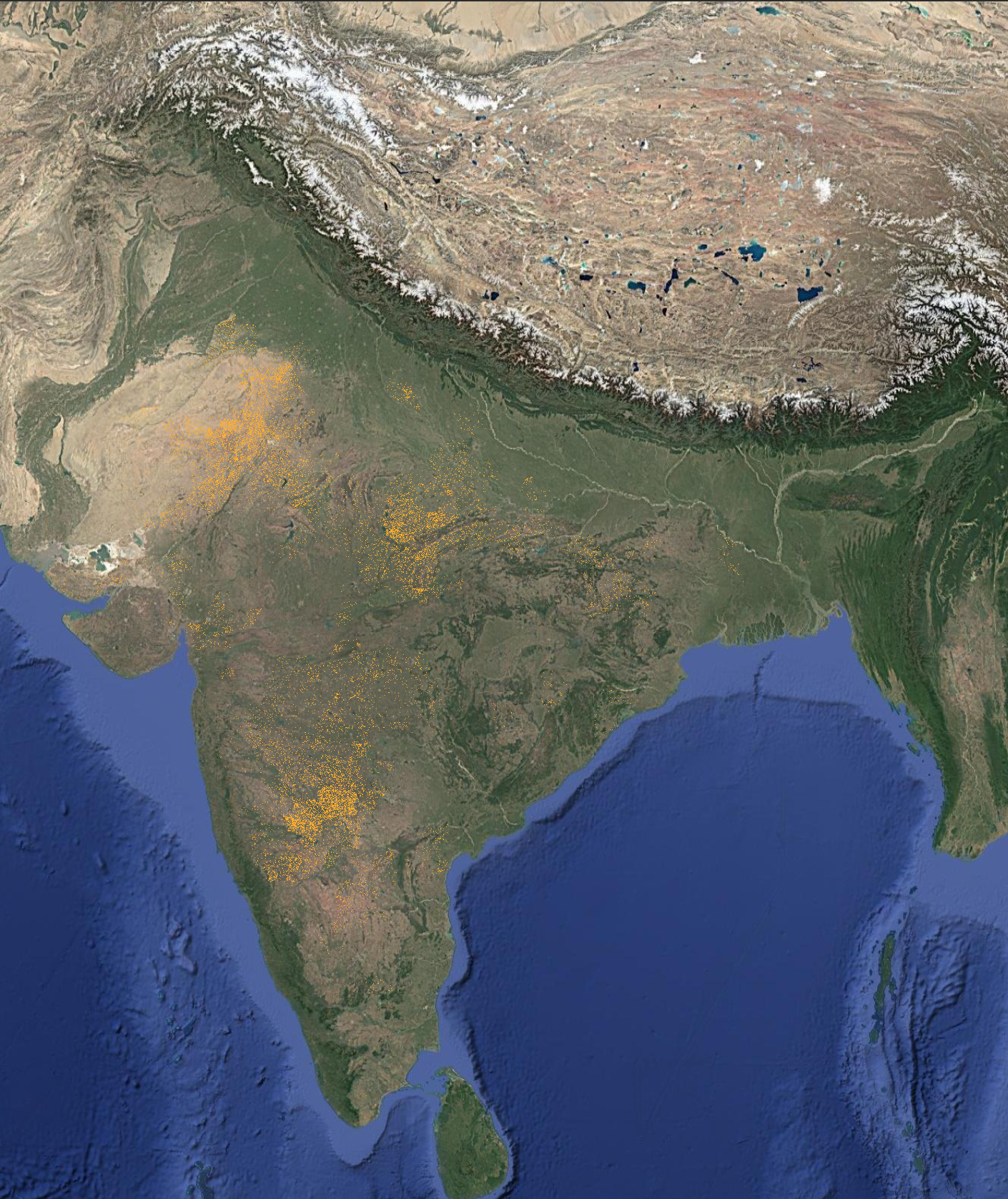
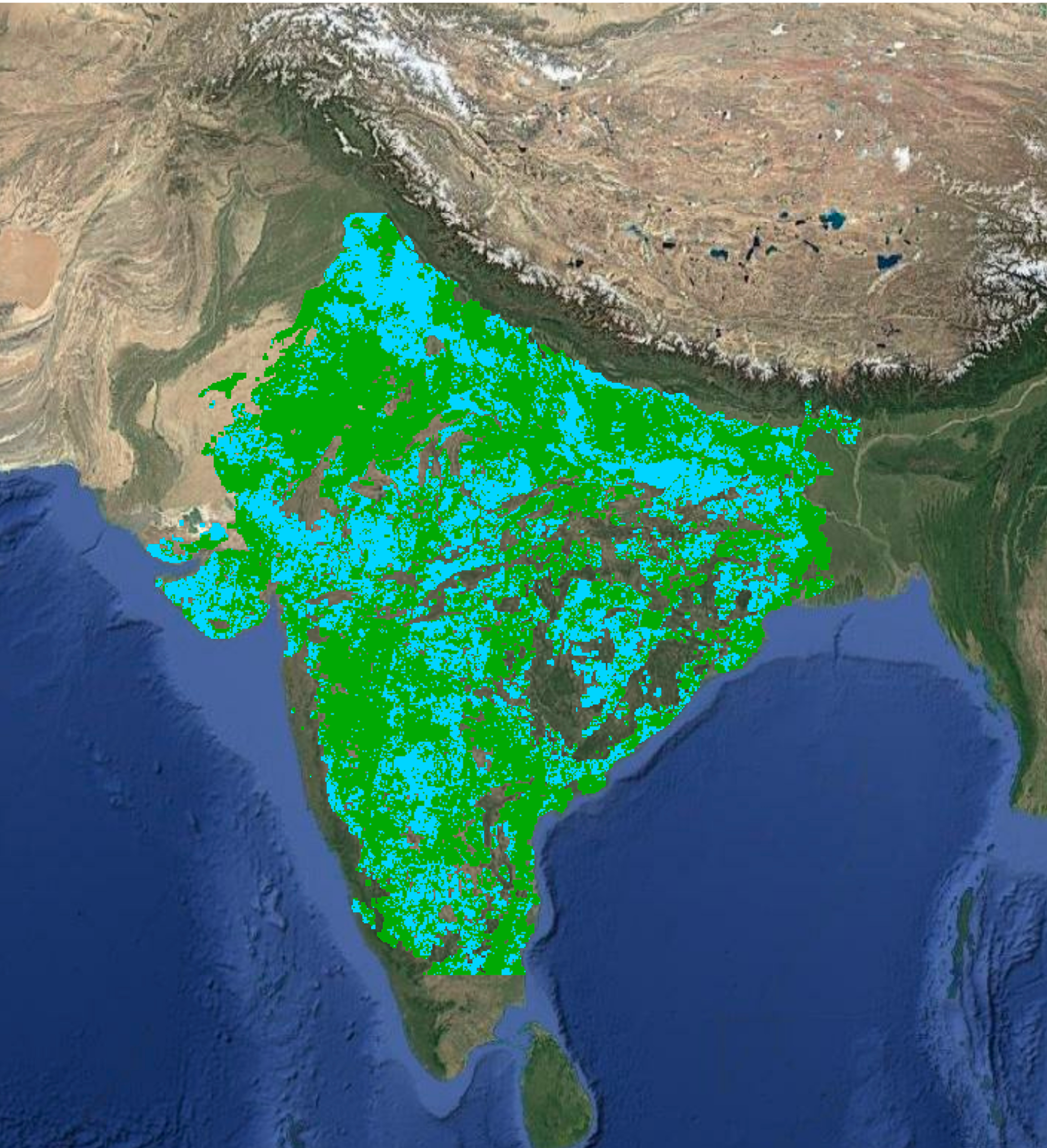
Sown area refers to the total land area where crops have been planted in a given season. It represents agricultural land actively under cultivation, excluding fallow or uncultivated land. Sown area is detected approximately 30–45 days after sowing, depending on the crop, and is updated every 15 days thereafter.
Product Specification
10m
Resolution
15 Days
Frequency
Farm Level
Granularity
Availability
Available since
Rabi 2019
Latest data
Rabi 2026
Access as
CSV, .tiff, API
Download Data


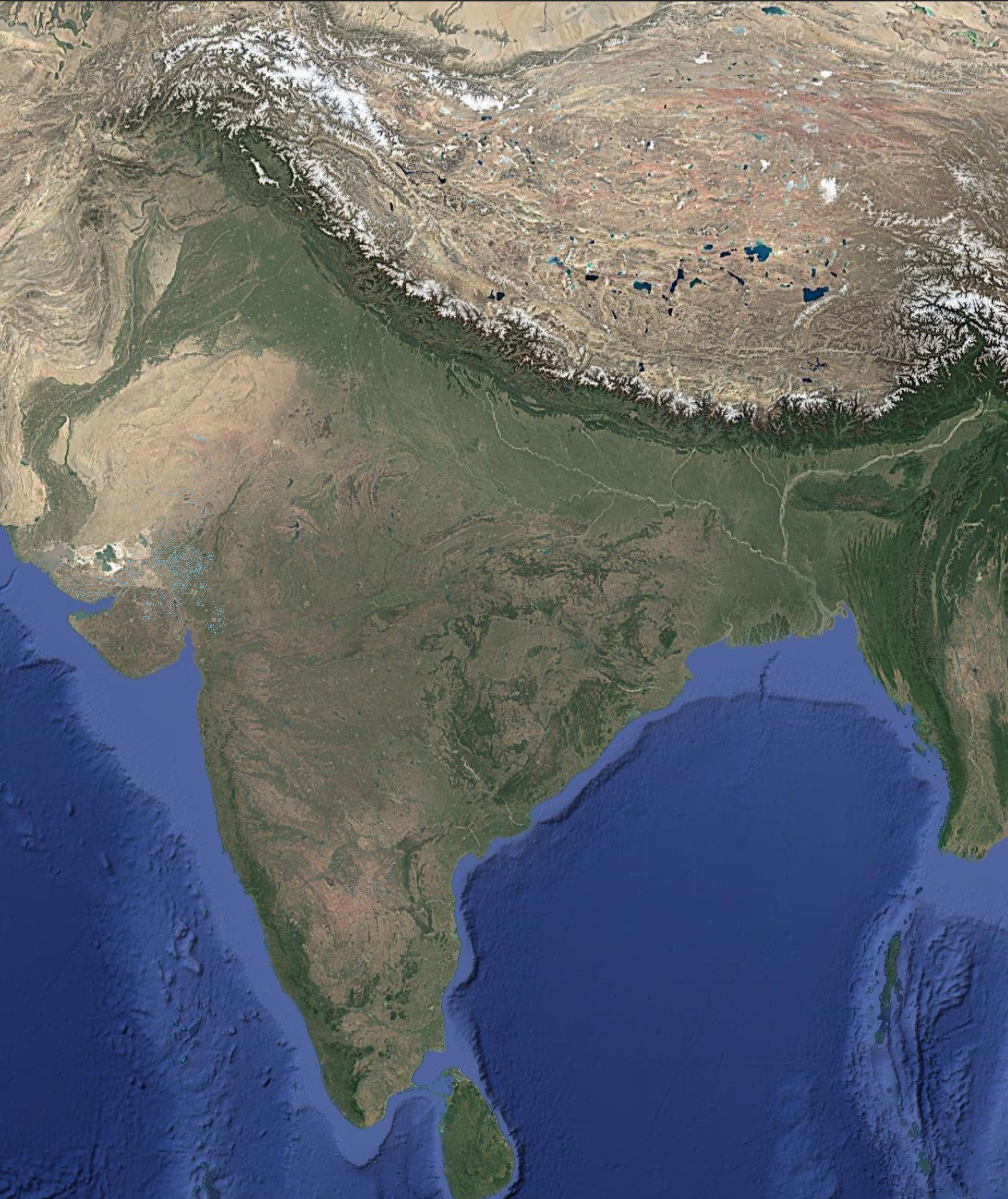
About
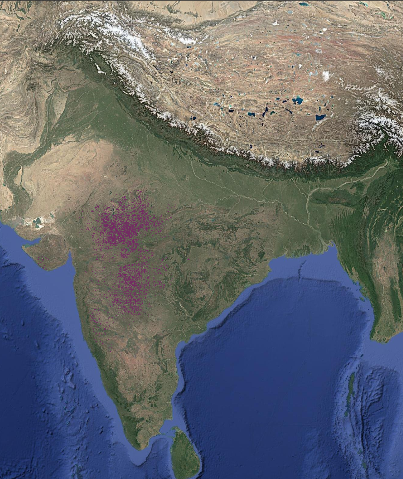
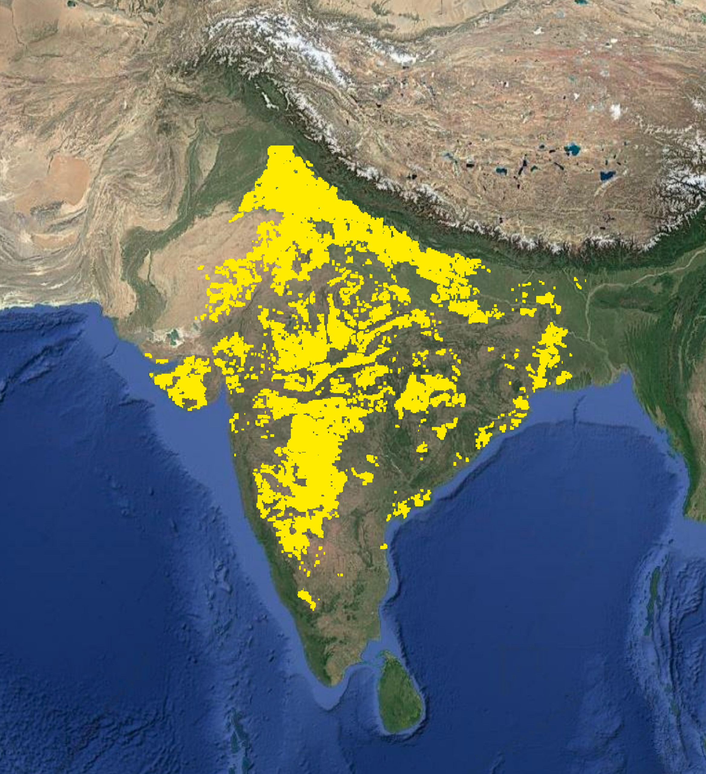
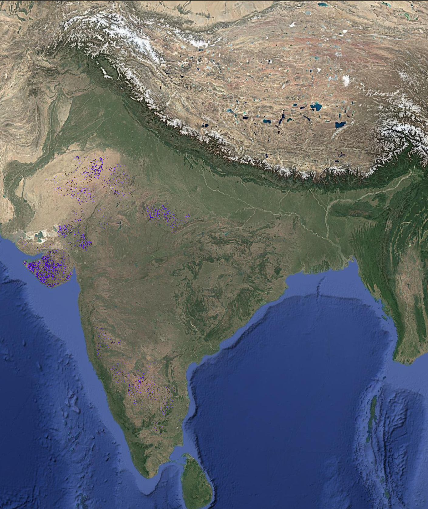
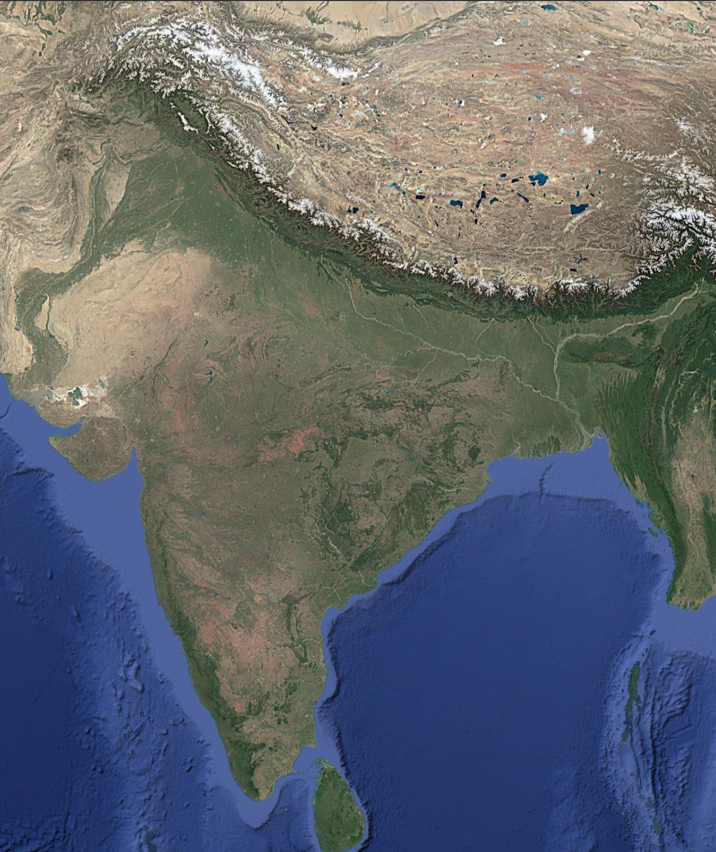
Harvested area refers to the total land area where crop harvesting has been fully completed during a given season. It represents fields that have exited active production and no longer have standing crops. Harvested area can also be reported for specific crops and is estimated at 15-day intervals once harvesting begins.
Product Specification
10m
Resolution
15 Days
Frequency
Farm Level
Granularity
Availability
Available since
Rabi 2019
Latest data
Kharif 2025
Access as
CSV, .tiff, API
Download Data
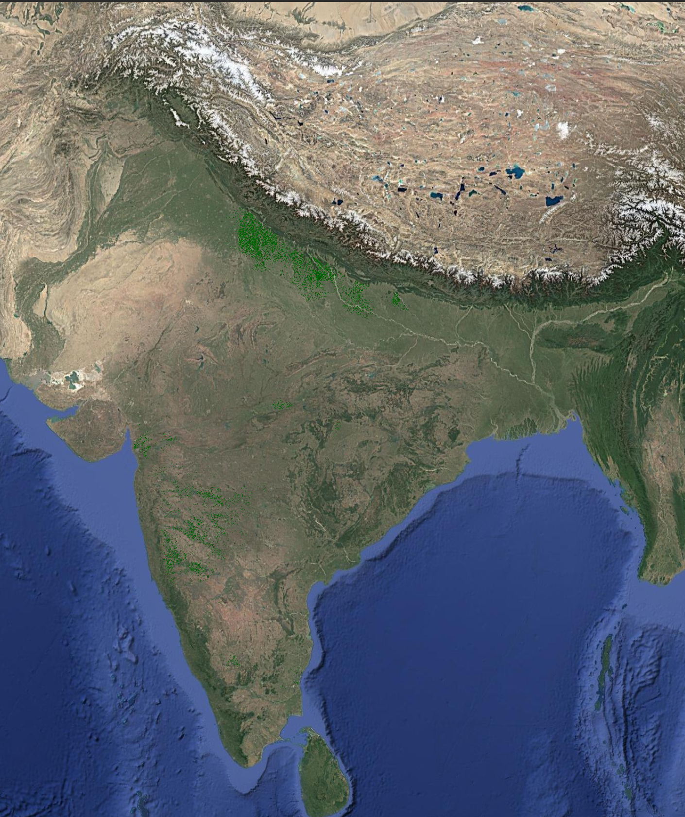
About
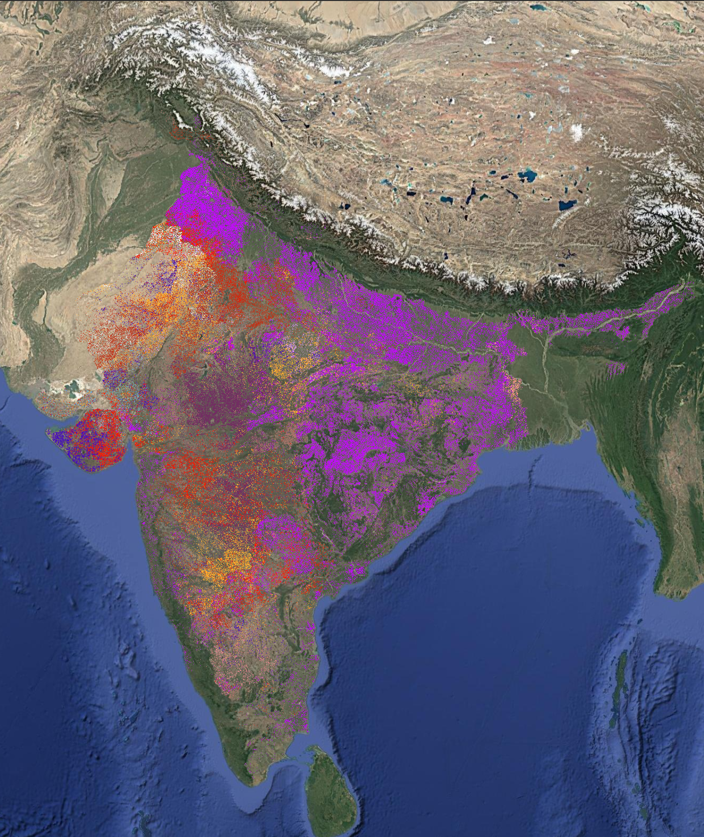
Cropping intensity indicates how frequently a land area is cultivated in a year, reflecting whether land is single-cropped, double-cropped, or multi-cropped.
Product Specification
10m
Resolution
Yearly
Frequency
Farm Level
Granularity
Availability
Available since
2019
Latest data
2025
Access as
CSV, .tiff, API
Download Data
About
Irrigation condition describes whether a farm has access to an irrigation source or relies solely on rainfall for crop production. It is estimated taking the entire year’s data.
Product Specification
10m
Resolution
Yearly
Frequency
Farm Level
Granularity
Availability
Available since
2019
Latest data
2025
Access as
CSV, .tiff, API
Download Data

Impacting Agri-Businesses at National and Global Scale
SatSure supports data-driven transformation across agribusinesses with real-time, scalable insights.
2.1 million+
farmer plots analyzed
85 million
hectares of agri area processed
1.95 lakh
villages monitored
60,000+
farm leads generated
EO-Powered Insights to Optimize the Agri Value Chain
Foundational Agri Intelligence
Crop classification, sowing forecasts, acreage, health monitoring, and yield estimation form the backbone of our agri intelligence stack.
Climate & Sustainability Intelligence
Track rainfall patterns, groundwater levels, evapotranspiration, and temperature to plan field operations, assess crop stress, and manage climate risk.
Retail & Cluster Mapping
Overlay crop potential, road density, population, nightlight indices, and proximity to mandis to identify sales catchments and optimize distribution channels.
Harvest-Linked Logistics Intelligence
Estimate harvest readiness and identify high-yield zones to plan procurement schedules and avoid bottlenecks across collection centres and storage units.

Frequently Asked Questions
Everything You Need to Know About Using SatSure for Agri-Business
How can SatSure help in improving sales efficiency for agri-input companies?
SatSure delivers precise crop and farm distribution maps along with socio-economic indicators to help teams prioritize territories, reduce inventory mismatch, and optimize sales force allocation.
Can SatSure help in identifying optimal procurement zones?
Yes. SatSure enables real-time crop monitoring and harvest progression analytics to identify high-density crop clusters, helping commodity teams plan sourcing more efficiently.
How does SatSure support agri R&D and field trials?
Sparta enables automated farm boundary detection and integrates rainfall, temperature, and NDVI trends to select and monitor trial plots, ensuring data-backed product performance analysis.
Is the platform scalable across regions and crops?
Absolutely. SatSure has mapped over 85 million hectares of farmland across 6 continents and supports more than 18 crops with high accuracy, including wheat, maize, paddy, soybean, cotton, and sugarcane.
How can FMCG or plantation firms benefit from SatSure?
SatSure provides village-level rankings, retail footprint mapping, and climate data overlays that help FMCG and plantation firms plan logistics, pricing, and sustainability interventions.
Featured Stories
SatSure and KALRO Partner to Leverage Satellite Data for Agricultural Transformation in Kenya


SatSure and Dhruva Space forge strategic alliance to deliver end-to-end Earth Observation-as-a-Service (EOaaS) Solutions

SatSure X SEA: Advanced Agricultural Forecasting for Rapeseed-Mustard Production