Building a Data-Driven Future for Forest Conservation with Earth Observation Intelligence
SatSure empowers governments, businesses, and communities to safeguard forests, unlock carbon markets, and manage biodiversity using EO data, remote sensing models, and a unified Digital Forest Stack for decision intelligence and sustainability


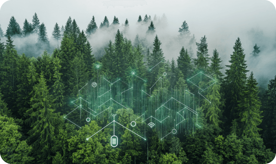
A Unified Intelligence Stack for Climate-Aligned Forestry
SatSure’s Digital Forest Stack brings together multi-source geospatial data, climate indicators, and remote sensing to enable digital forestry workflows—from monitoring forest health to driving afforestation and carbon economy integration
Forest Health Monitoring
Continuously monitor canopy density, tree cover, biomass trends, rainfall, soil moisture, and groundwater levels across forest blocks using EO-based intelligence. Generate MIS-ready summaries for transparency, impact tracking, and compliance
Carbon Stock Estimation & Project Planning
Automate site evaluation and plantation suitability mapping with species-level precision. Forecast carbon stock across afforestation projects and generate verifiable insights for carbon credit registration under frameworks
Deforestation & Biodiversity Monitoring
Leverage change detection, LULC classification, and fragmentation analysis to track forest loss, encroachment, and ecosystem degradation—supporting enforcement agencies and biodiversity-focused institutions
Forest Fire Risk & Offence Tracking
Enable early detection and hotspot analytics using weather patterns, vegetation dryness, and fire-risk modeling. Support wildlife offence monitoring and human-wildlife conflict resolution through geotagged event data
Community & Livelihood Integration
Map forest produce access routes, tribal livelihood zones, and ecosystem service hotspots to ensure sustainable forest management that includes communities and improves benefit sharing
Scaling Conservation Intelligence with Digital Forestry
Powering afforestation and forest health governance across Indian states and aligning efforts with global climate and biodiversity goals
2 large-scale
Digital Forest Stack deployments
$20T+
annual global economic losses addressed by digital forest management
2.6 gigatons
CO₂ sequestered annually from improved forest cover
$3B+ carbon
revenue potential via agroforestry and REDD+ projects
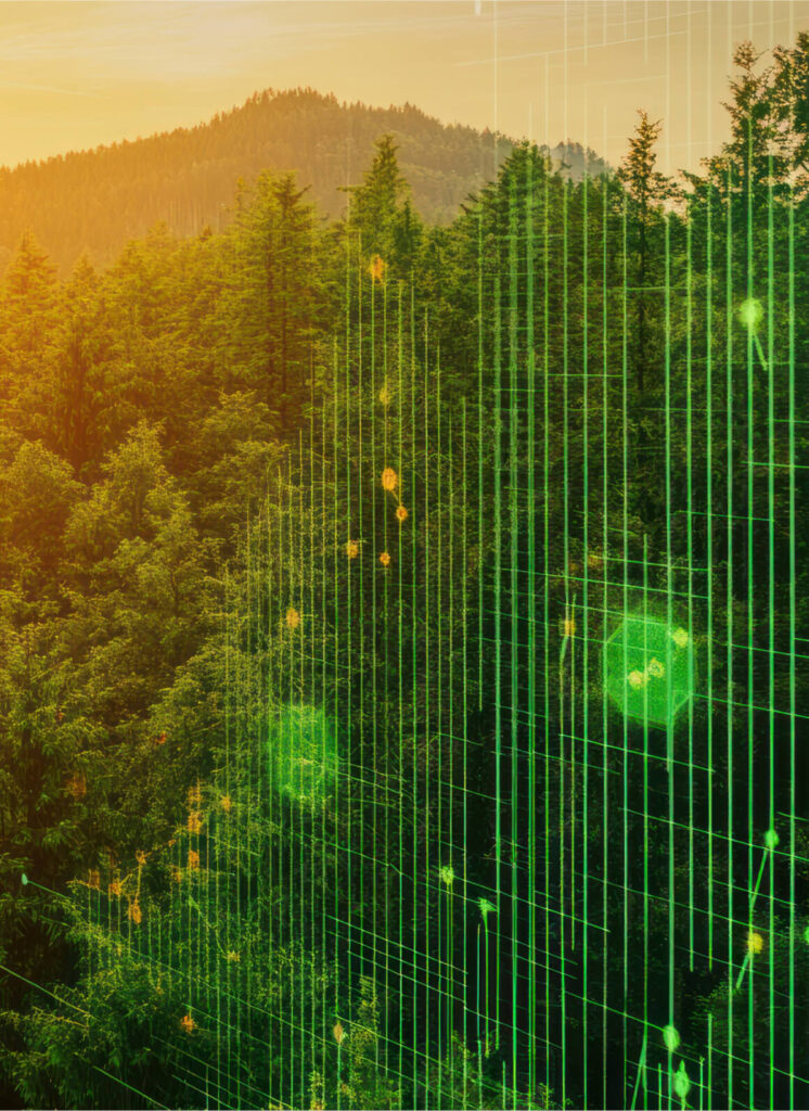
Built on Deep Tech for Forestry, Climate & Conservation
Foundational Geospatial Intelligence
EO layers like NDVI, canopy density, DEMs, and forest boundaries enable continuous tracking of forest health, degradation, and restoration across time.
Climate & Environmental Layering
Monitor rainfall, ET, soil moisture, and groundwater to assess climate stress. Fire-risk indicators derived from vegetation dryness support early alerts.
Carbon & Biodiversity Modeling
Estimate species-level carbon stock and project suitability for REDD+ and agroforestry credits, enabling faster registration and validation.
Forest Governance Integration
API-ready and FMDSS-compliant modules support CAMPA, site audits, and MIS reporting—ensuring traceability and streamlined forest workflows.
Frequently Asked Questions
Everything You Need to Know About Digitizing Forest Conservation with SatSure’s EO Intelligence
How does SatSure support plantation site planning?
SatSure automates site evaluation using terrain, weather, and species-suitability analytics to identify high-impact locations for afforestation, aligned with carbon market goals.
Can SatSure monitor forest degradation and deforestation?
Yes. Our EO-based platform tracks forest cover loss, canopy thinning, and habitat fragmentation across time, providing actionable insights for enforcement and restoration.
Can this solution help in carbon credit registration?
Absolutely. We provide scientifically validated carbon stock estimation tools, enabling project developers to meet requirements for REDD+ and other registries.
Is this platform scalable for state-wide deployments?
Yes. The Digital Forest Stack has already been deployed across full states like Rajasthan and can be scaled further within 6–12 months depending on district coverage.
What makes SatSure’s forestry solution unique?
Unlike point-based assessments, SatSure offers end-to-end forest intelligence powered by proprietary EO datasets, ground data integration, and stakeholder-ready decision support dashboards.
Featured Stories
SatSure and KALRO Partner to Leverage Satellite Data for Agricultural Transformation in Kenya


SatSure and Dhruva Space forge strategic alliance to deliver end-to-end Earth Observation-as-a-Service (EOaaS) Solutions

SatSure X SEA: Advanced Agricultural Forecasting for Rapeseed-Mustard Production