Enabling Enterprises and Agile Startups to Scale: From EO Data Source to Solutioning

An end-to-end ecosystem turning Earth Observation data into decision intelligence across sectors – Banking, Agriculture, Aviation, Infrastructure & Utilities, Forestry and Urban Planning

Delivering the Last Mile Through EO Intelligence

A Vertically Integrated EOaaS Stack Delivering Actionable Intelligence at the Last Mile

Powering the Future of EO - From Orbit to Insights

KaleidEO, SatSure’s upstream arm, delivers high-res satellite imagery with edge intelligence, enabling full-stack, sovereign-ready EO solutions at global scale

From Earth Observation to Industry Transformation

A full-stack EOaaS platform powering insights across agriculture, banking, infrastructure, and beyond

Agriculture

Transforming Agriculture from the Ground Up—One Pixel at a Time

From In-Season Monitoring to Market Insights: A Full-Stack Agri Intelligence Platform

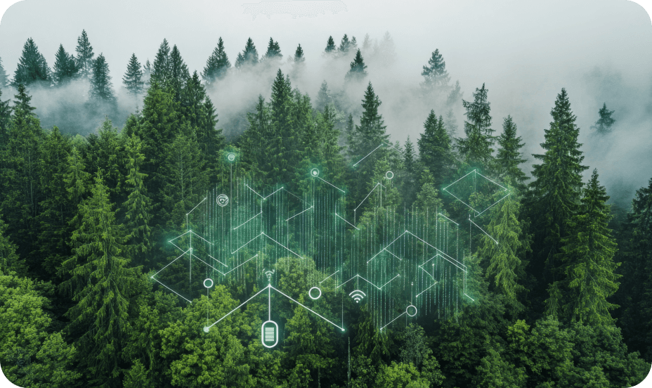
GeoScape Monitoring for Global Agri Intelligence

Track crop growth in real time across regions—from germination to harvest. Our models capture seasonal changes, crop lifecycles, and field-level variations across vast geographies.

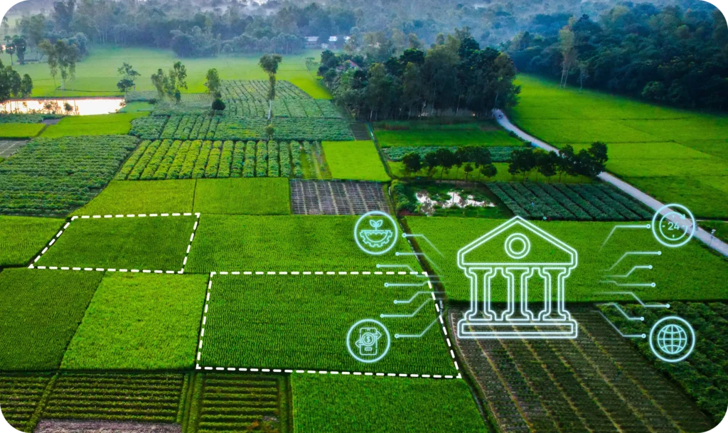
India’s Digital AgriStack, Built by SatSure

Years of crop data, mapped across seasons and regions, power India's AgriStack. Use it for finance, risk, forecasting, and micro-market planning.

From Pixels to Planning: Powering Agri Value Chains

Enable smarter input planning, harvest procurement, and climate risk management—driven by EO insights, season trends, and predictive analytics.

Taking Flight with Smarter Aeronautical Intelligence

From airport data preparation to mid-air route safety and terrain-aware landings—our platform delivers the right insight at the right phase of flight. Modules include AIXM, AMDB, eTOD, and AUP, integrated into a single workflow.

Safeguarding Forests with Scalable Intelligence

From tracking tree health to detecting encroachments, our forestry solutions combine satellite imagery with real-time analytics to protect ecosystems and power data-led restoration.

Deforestation Alerts & Change Detection

Our platform maps forest cover and flags tree loss instantly—whether due to encroachment, land conversion, or illegal felling. Stay ahead of deforestation with real-time alerts.

Canopy Health & Carbon Stock Estimation

Measure canopy density, biomass trends, and carbon sequestration potential to track forest vitality and plan restoration with precision.

Fire Risk & Project Monitoring

Assess fire-prone zones, monitor plantation growth, and track afforestation projects with visual dashboards and predictive analytics.

Bringing Financial Access to the Last Mile—With Eyes from the Sky

SatSure empowers lenders and insurers with satellite-powered risk insights, helping them assess farm productivity, underwrite faster, and serve underserved rural communities at scale. 3 bullet points:

De-Risking Agriculture at Scale with Satellite-Led Insurance Intelligence

From faster claims to smarter underwriting, SatSure enables insurers and reinsurers to bring accuracy, speed, and transparency to agri-insurance—across regions, crops, and weather events.

Smarter Underwriting with YES-Tech

Use historical and in-season crop performance, weather zones, and village-level insights to price premiums more accurately and reduce underwriting risk.

Satellite-Verified Claim Assessment

Cut claim validation time from weeks to days. Our before-and-after satellite snapshots verify damage, assess loss, and minimize field dependency.

Continuous Monitoring for Reduced Payout Risk

Track insured plots throughout the season with real-time alerts for flood, drought, and crop failure—flagging risks before they become claims.

Optimizing Critical Infrastructure with Deep Tech Decision Intelligence

From powerline planning to vegetation monitoring, SatSure enables utilities to reduce costs and risks through advanced EO analytics, cloud-free imaging, and deep-learning–based land intelligence.

Featured Stories

SatSure and KALRO Partner to Leverage Satellite Data for Agricultural Transformation in Kenya

SatSure and KALRO Partner to Leverage Satellite Data for Agricultural Transformation in Kenya

SatSure and Dhruva Space forge strategic alliance to deliver end-to-end Earth Observation-as-a-Service (EOaaS) Solutions

SatSure and Dhruva Space forge strategic alliance to deliver end-to-end Earth Observation-as-a-Service (EOaaS) Solutions

SatSure X SEA: Rapeseed-Mustard Production Forecasting

SatSure X SEA: Advanced Agricultural Forecasting for Rapeseed-Mustard Production

SatSure Recognized in the 2024 Gartner® Emerging Tech Impact Radar: Artificial Intelligence report