Accelerating Saudi Vision 2030 with Geospatial Data
Meet SatSure at Biban Forum 2025
We help industry stakeholders, including government authorities, policymakers, and commercial businesses, achieve scalability and sustainability by driving operational excellence and cost efficiency through SatSure’s industry-specific, contextually relevant, geospatial solutions.
Meet Our Leadership Team at Biban Forum 2025


Let’s Connect at Biban Forum 2025
Enabling a Smarter, Sustainable Future for Saudi Arabia through Earth Observation and AI
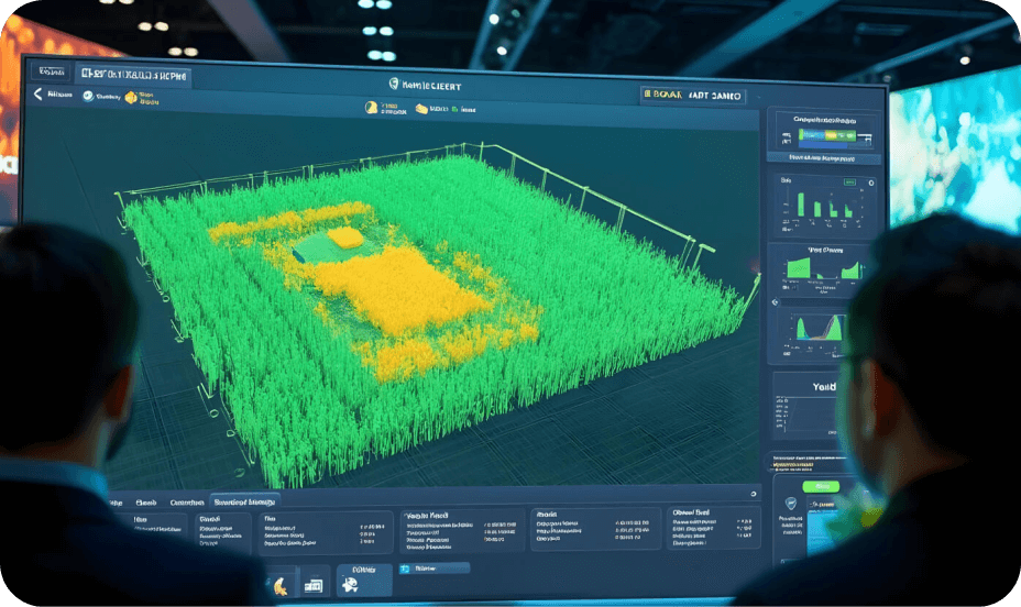
SatSure’s geospatial data-driven solutions are designed to accelerate Saudi Vision 2030 across key sectors by integrating proprietary data fusion techniques (optical/ SAR/ hyperspectral/ aerial imagery/LiDAR/ ground survey) and AI-driven analytics.
Infrastructure & Urban Planning

Leverage geospatial data & AI for urban expansion tracking, land-use planning, and resilient infrastructure development.
SatSure combines geospatial data and AI to provide real-time insights into construction progress, resource utilisation, and site conditions, overcoming challenges such as inaccessibility, delays, and inefficiencies for smarter, faster infrastructure execution.
Agriculture & Food Security
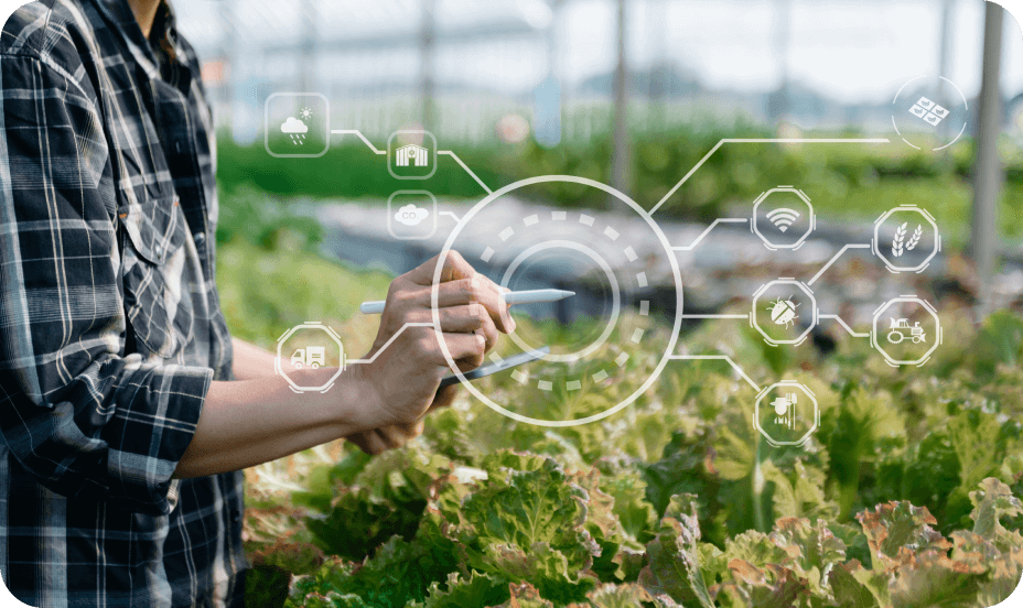
Drive precision agriculture, optimise water use, and ensure sustainable land management.
We support agri-businesses with geospatial data-powered insights for market intelligence, streamlined supply chains, and enabling better decisions in yield forecasting, crop monitoring, and sustainable sourcing.
Utilities & Critical Infrastructure
Transforming the critical infrastructure and utilities ecosystem with geospatial intelligence that spans the entire infrastructure lifecycle, from site suitability and construction monitoring to operations & maintenance using geospatial data and AI to strengthen grid resilience and optimise asset performance.
We support agri-businesses with geospatial data-powered insights for market intelligence, streamlined supply chains, and enabling better decisions in yield forecasting, crop monitoring, and sustainable sourcing.
1. Site Suitability & Planning:
- Evaluate land use, topography, and environmental constraints using geospatial and climatic datasets.
- Identify optimal locations for solar, wind, or transmission infrastructure deployment.
2. Construction & Infrastructure Monitoring:
- High-frequency satellite monitoring to track construction progress, detect deviations, and identify encroachments.
3. Operations & Maintenance Optimisation:
- Automate vegetation risk detection and prioritisation of maintenance using predictive growth and risk zones, replacing costly, infrequent LiDAR inspections and enabling smarter pruning and audits.
Forestry

Detect illegal logging, monitor vegetation health, track plantation growth for Saudi Arabia’s greening initiatives, and assess carbon sequestration potential to support national climate action goals.
SatSure’s Forest Monitoring Solution uses remote sensing, AI, and open-source tools to monitor forest health, track plantations, manage wildfires, and support data-driven planning, biodiversity conservation and biomass estimation.
Aviation
Drive digital transformation in aviation with an integrated AIM platform
Supporting the AIS to AIM transition, our integrated AIM platform enhances airspace and airport operations with data-driven decision-making. From obstacle data to global compliance, it enables safer, more efficient management and full digital transformation.
Agri Lending
Enable financial inclusion in Agriculture with satellite imagery-based spatial crop intelligence.
Our agri-intelligence platform provides insights to optimise collections and support data-driven credit decisions. Advanced tools like cluster ranking, location analytics, and farm lead generation strengthen rural lending and portfolio monitoring.
Aligned with Saudi Vision 2030
SatSure’s mission complements the Kingdom’s Vision 2030 by harnessing the power of geospatial data to drive:

Agricultural and environmental sustainability

Smart infrastructure planning and digital transformation
