Satellite AI for Continuous Construction Verification
Discover how leading lenders use SatSure’s Earth intelligence to remotely verify construction stages, streamline disbursements, and scale their affordable housing portfolios. You'll learn:
- Continuous Verification: How to upgrade from periodic field visits to weekly, automated satellite tracking for every financed plot.
- Unalterable Evidence: How AI-detected building footprints create a reliable, visual record that supports credit decisions and audits.
- Seamless Integration: How our batch API and dashboard deliver stage completion data directly into your loan origination systems.
What’s Inside the Mortgage Construction Veritifcation Brochure

Built on High-Resolution Earth Observation
A modern intelligence layer enabling weekly, wide-area visibility of financed plots.

Scaling Beyond Physical Limitations
Overcoming cost constraints of periodic site visits to maintain oversight and accelerate processing.

Mapping Progress to Disbursement Milestones
A unified approach tracking construction from foundation and plinth through to completion.

Powered by Synthetic Super-Resolution
Harnessing 4x enhanced spatial resolution to sharply and reliably detect small residential structures.

Transforming Affordable Housing Lending
Making remote verification economical for low-ticket, geographically dispersed loan portfolios.

Driving Portfolio-Level Intelligence
Generating heatmaps to show where construction activity is concentrated across your entire book.
Building the Digital Atlas of Earth Intelligence
A unified platform turning satellite data into decision-ready insights across Aviation, Agriculture, Banking, Forestry, Climate and Critical Infrastructure.
Banking
Enabling credit solutions for the underserved smallholder farmers

The BFSI sector plays a crucial role in providing financial services, and in the context of smallholder farmers, this often means addressing the challenge of limited access to formal credit. By developing and implementing innovative credit solutions, the BFSI industry can empower these farmers, helping them secure the necessary capital for their agricultural endeavors and fostering economic stability in rural communities.
Agri-Business
Empowering Agri-Businesses with EO Data based insights across crop lifecycle

In the agriculture sector, the integration of Earth Observation (EO) data is transforming how agri-businesses operate. By leveraging insights derived from satellite imagery and other remote sensing technologies, businesses can gain a comprehensive understanding of crop health, growth stages, and environmental factors across the entire crop lifecycle, leading to optimized planning, resource management, and improved yields.
Aviation
A Multi-Module Aeronautical Information Platform

The aviation industry relies heavily on accurate and timely information for safe and efficient operations. A multi-module aeronautical information platform serves as a critical backbone, integrating diverse data streams related to airspace, weather, navigation, and other essential details to support flight planning, air traffic control, and overall operational safety and management.
Utilities and Critical Infrastructure
Transforming infrastructure and utilities for optimized planning, monitoring, and risk mitigation

The infrastructure and utilities sectors are fundamental to societal functioning, and their efficient management is paramount. By embracing advanced technologies, these sectors can achieve optimized planning, continuous monitoring of assets and networks, and robust risk mitigation strategies, leading to more resilient, sustainable, and effective delivery of essential services.
Forestry
Building first-of-its kind Digital Forest Stack for governments, enabling forest communities and allied industries
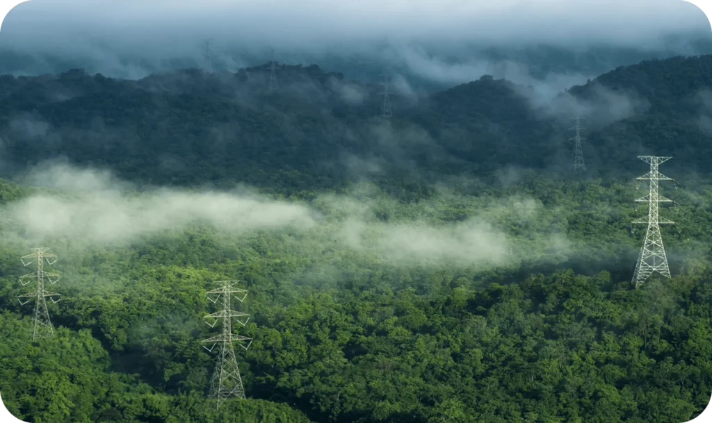
In forestry, the development of a digital forest stack represents a significant leap forward for governments and related stakeholders. This innovative platform can centralize data on forest resources, health, and management, enabling sustainable practices, supporting the livelihoods of forest communities, and providing valuable information for allied industries dependent on forest products.
Insurance and Reinsurance
De-Risking Agricultural Insurance with Satellite-Driven Intelligence
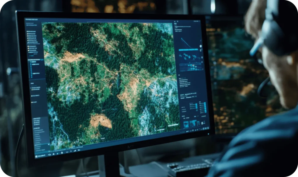
SatSure empowers insurers and reinsurers with real-time crop intelligence, yield forecasts, and post-disaster assessment tools—enabling smarter underwriting, efficient claims validation, and scalable risk management across geographies