De-Risking Agricultural Insurance with Satellite-Driven Intelligence
SatSure empowers insurers and reinsurers with real-time crop intelligence, yield forecasts, and post-disaster assessment tools—enabling smarter underwriting, efficient claims validation, and scalable risk management across geographies


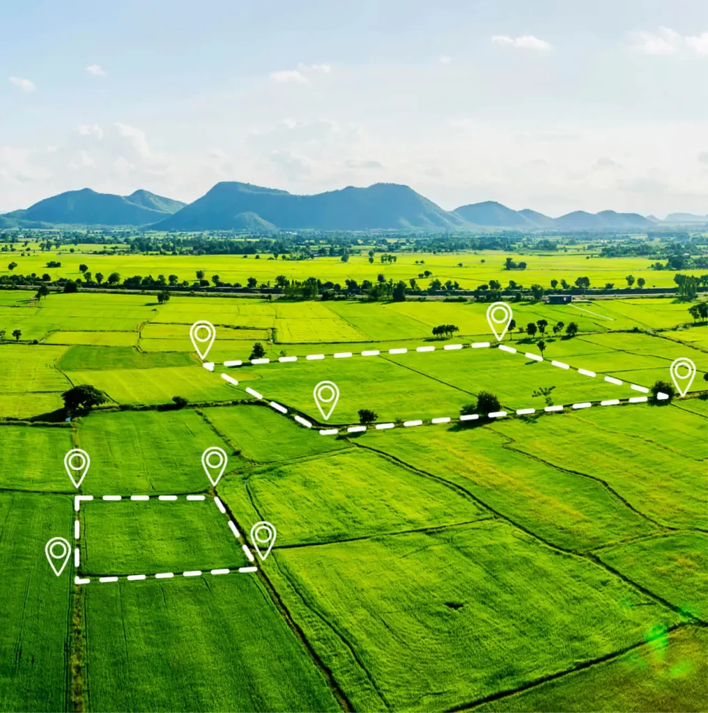
Precision-Driven Crop Risk Management
SatSure offers an integrated platform for insurers that spans the full insurance lifecycle—from underwriting and monitoring to claims assessment—using high-resolution EO data and predictive modeling

In-Season Monitoring
Get bi-weekly updates on sowing progress, crop acreage, health indices (NDVI, NDWI), and harvest readiness. Monitor crop development in real-time to inform underwriting, inventory planning, and mid-season interventions
Yield Forecasting with YES-Tech Models
Forecast crop yields at sub-district or Insurance Unit level using semi-physical, ensemble, and AI models aligned with MNCFC guidelines. YES-Tech models are customizable to region, crop, and satellite input
Post-Disaster Crop Damage Assessment
Assess cyclone, flood, or volcanic eruption impact using fused SAR-optical datasets and daily rainfall overlays. Automate village-level crop damage reports to expedite payouts and reduce disputes
Claims Validation & Stratified Sampling
Enable rapid CCE optimization through satellite-guided sampling frameworks. SatSure’s pilots have shown up to 70% reduction in physical CCEs, improving efficiency and reducing bias in PMFBY implementation
Scaling Insurance with Proven Geospatial Performance
SatSure’s insurance intelligence stack is trusted by global reinsurers, governments, and agri-insurtechs for scalable, data-backed portfolio monitoring and claim validation
4,00,000+
farmer claims processed
Up to 70%
reduction in random CCEs via pilot stratification
Coverage across
44 districts and 8 states in India
90%+ TAT
improvement for post-flood crop damage loss adjustment
Geospatial Intelligence for Underwriting, Monitoring & Recovery
Satellite Data + Climatic Overlays
High-resolution optical, SAR, and multispectral data provide continuous crop health indicators like NDVI, NDWI, and VCI. Integrated with rainfall, SPI, GLOFAS flood data, and temperature anomalies to contextualize risk.
YES-Tech Yield Models
Semi-physical and ensemble crop models predict yield with high regional granularity. Supports dynamic crop risk rating, early payout estimation, and stress-based premium recalibration.
Damage & Exposure Mapping
Village- and farm-level crop loss maps generated through fused EO datasets, DEMs, and custom classifiers—enabling disaster response planning and accurate loss quantification.
Role-Based Dashboards & API Integration
Custom dashboards for underwriters, claims teams, and ops staff. Geo-referenced APIs feed boundary-level insights into ERPs, CRMs, and actuarial platforms in real time.

Frequently Asked Questions
Everything You Need to Know About Using SatSure for Scalable, Data-Backed Insurance
How does SatSure improve claims settlement speed?
By offering bi-weekly farm health updates, disaster overlays, and API-based access to loss quantification—removing reliance on delayed field assessments.
What kind of crops and geographies can be modeled?
SatSure models 18+ crops across India, SEA, LATAM, and the US, with regional calibration for YES-Tech yield and risk models.
How accurate are the yield predictions?
YES-Tech models have been validated across states and insurance units and align with PMFBY requirements, using cross-validation and multi-model simulation.
Can we integrate this into our underwriting system?
Yes. Dashboards and APIs support integration with underwriting, claims, and actuarial systems—via GeoJSON, CSV, and custom API endpoints.
What sets SatSure apart in insurance tech?
We blend Earth Observation, crop modeling, and weather analytics into a unified decision layer—supporting real-time risk mitigation and end-to-end claim workflows.
Featured Stories

SatSure and KALRO Partner to Leverage Satellite Data for Agricultural Transformation in Kenya


SatSure and Dhruva Space forge strategic alliance to deliver end-to-end Earth Observation-as-a-Service (EOaaS) Solutions


SatSure X SEA: Advanced Agricultural Forecasting for Rapeseed-Mustard Production